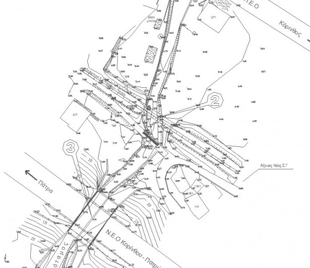
For the Surveying studies, the company has the following equipment and software:
Two (2) Total Stations, four (4) GPS receivers L1 & L2, three (3) GPS receivers L1, four (4) photogrammetric stations, rural accessory equipment (prisms, staffs, spears, tapes, etc.), Computers, two (2) plotters, four (4) printers, two (2) Scanners A3 / A4, two (2) copiers, Software GNSS SOLUTIONS, PERFORMANCE, RELIANCE, MK-CADASTRE, ACTS OF IMPLEMENTING, CADASTRE, ArcInfo (GIS), Mobile Mapper Office (data Management GIS), ASHTECH SOLUTIONS (program resolutions from satellite), AUTOCAD CIVIL 3D, AUTOCAD MAP5, MICROSOFT PROJECT, ECM, WORD, EXCEL, Access (databases), Power Point (Presentations), Outlook (manage contacts - contact), Adobe Acrobat (Create - edit files PDF), Adobe Photoshop.


